Footpath or Lane: Reading Two Different Kinds of Route
Learn to tell a footpath from a minor lane on a map by tracing route continuity, checking line styles and resolving ambiguous junctions with care.
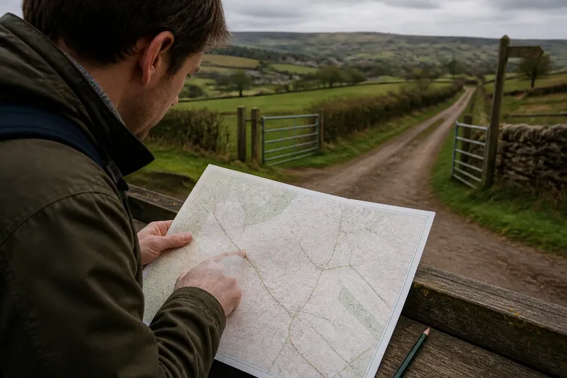
Does that thin line across the fields mark a footpath or a lane? On a countryside map, the best clue is often not how bold the line looks but how it connects to the routes around it. Read continuity first, then compare the map’s symbols and labels before deciding what the line represents.
This matters when you are choosing a walking route: a footpath is intended for people on foot, while a lane is a physical route that may carry vehicles, farm traffic or other users. Maps simplify both. A line can be faint because of the map’s scale or printing, not because the route is unimportant.
Start with continuity
Trace the uncertain line in both directions. A footpath often leaves a road, crosses a field or wooded area, and joins another path or road. A minor lane may continue between buildings, farm entrances or settlement edges, sometimes changing name or surface without a clear break on the map.
Neither pattern settles the question by itself. A public footpath can run for a long distance, and a lane can end at a farmyard or gate. Look for the route’s connections rather than treating length or destination as proof.
Use a finger, pencil or digital map cursor to follow each branch through a junction. If the line appears to stop, zoom in or inspect a more detailed map. A narrow gap may be a drawing convention, a crossing, or a genuine end; do not silently join it to the nearest line.
Compare the drawing
Map makers use different colours, dashes and line weights for paths, roads and tracks. A footpath may be shown as a thin dashed or dotted line, while a surfaced or vehicle-access route may use a continuous stroke. These are common conventions, not universal rules: check the legend for the map in front of you.
Also separate the route line from nearby marks. A boundary, drainage feature or field edge may run beside a path, making the route seem thicker or continuous. On a printed map, the path may cross a boundary at a small gap or join; on a screen, overlapping symbols can hide that detail.
Think of the legend as the key to a set of unfamiliar house keys: a similar shape is not enough to identify what it opens. Match the line’s exact appearance to the map’s own explanation instead of relying on a style you remember from another map.
Check names and context
A label can support your reading, but it should not replace it. “Lane” in a place name may describe a road, a path or a historic local name; its wording alone does not tell you what access is permitted now. Likewise, a route drawn between fields is not automatically a public right of way.
Nearby features can help explain a line. A route that connects a village street to a marked walking network may be a footpath, while a broad connection to a farm entrance may be a lane or track. Treat these as clues to investigate, not as a verdict.
For a planned walk, check an authoritative rights-of-way map or the relevant local authority’s route information where access is uncertain. On the ground, follow posted signs and gates as directed; map depiction alone does not establish current access or permitted use.
Why does a route look broken?
Could the map scale hide a connection?
Yes. At a small scale, short links, bends and junctions may be simplified or lost beneath labels and other symbols. Open a more detailed view and follow the line beyond the crowded area before deciding that it ends.
Does a dotted line always mean a footpath?
No. Line styles differ between map series, and dotted marks can represent features other than public paths. Read the legend and compare the mark with nearby routes whose meaning is clearly labelled.
What if the line meets a road without a clear junction?
Look for a break, crossing symbol or continuation on the opposite side, then consult a larger-scale map if the detail remains unclear. Do not assume a path crosses a road simply because the two lines touch on a small map.
Can a lane become a path on the map?
A route can change character along its length, and maps may show different sections with different symbols. Trace the whole route and note where the drawing changes rather than assigning one label to every section.
Work through a mismatch
When the symbols and the route’s shape seem to disagree, use a fixed order rather than choosing whichever clue feels strongest:
- Identify the map. Note its title or series and find the legend that belongs to it.
- Trace both ends. Follow the line through nearby junctions, buildings and open land without assuming that a gap is a break.
- Compare symbols. Check line colour, dashes, thickness and any crossing or access marks against the legend.
- Read labels cautiously. Use names and nearby features as supporting clues, not as a substitute for the mapped route type.
- Check access information. If the distinction affects where you may walk, consult current local rights-of-way information.
- Keep the uncertainty visible. Mark the section as unclear on your route notes and choose a confirmed alternative if you need certainty before setting out.
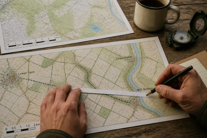
Say you are planning a walk from a village to a riverside bridge and the map shows a fine dashed line leaving a minor road. It seems to continue towards a farm, but the junction is obscured by a label. You trace it on a more detailed map, match the dashes to the legend, then check the local rights-of-way map; if the route still cannot be confirmed, you choose a clearly marked alternative rather than treating the farm lane as a public path.
Read the route as drawn
The most dependable map reading combines three things: how the line continues, how its symbol matches the legend, and what current access information says. A single clue can mislead, especially where paths meet lanes, cross field boundaries or pass through a settlement.
For distinguishing a footpath from a lane, continuity gives you the first question to ask: does the mapped route carry on as the same kind of line, or does its representation change? Make a note of any change in your route plan, and verify access before relying on an ambiguous section. That small distinction can keep a map-based walk grounded in what the map actually shows.