From Open Fields to Enclosed Parcels: A Short History of Field Boundaries
Field boundaries reveal how shared farmland became enclosed parcels, helping you read today’s rural landscape as a record of changing land use.
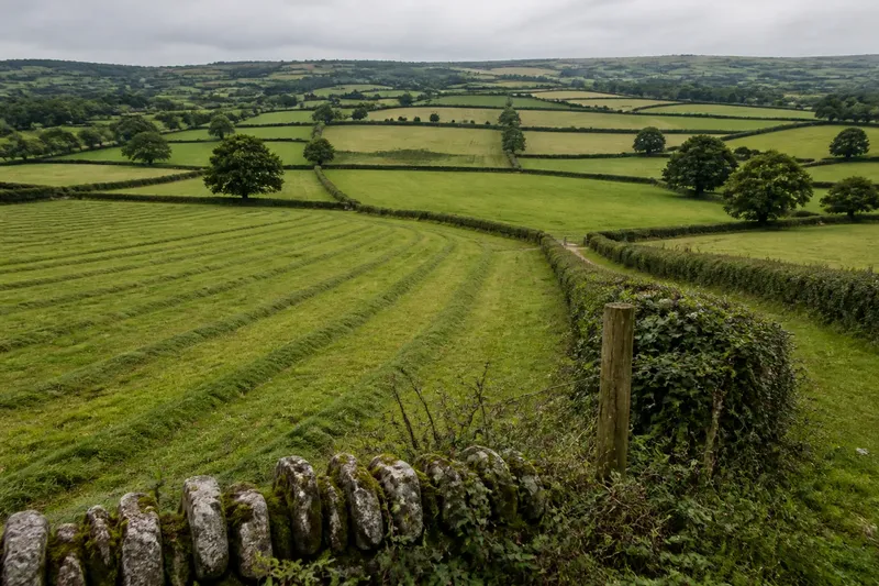
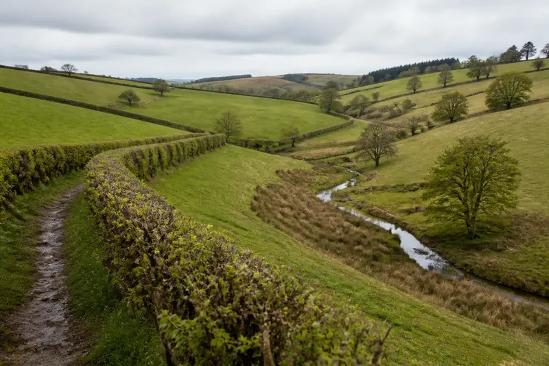
Why does one stretch of countryside look like a patchwork of small fields while another opens into long, broad sweeps? Field boundaries often preserve the answer: they show how farmland shifted from shared use to enclosed parcels, and how different ways of organising land left different patterns on the ground.
This history is not a simple march from one tidy system to another. In many parts of western Britain, open fields and enclosed farms overlapped, changed at different times and left traces that remain visible in boundaries, tracks and place names. The useful question is not merely when a hedge appeared, but what arrangement it replaced and who gained control of the land it enclosed.
Shared fields, divided strips
In a common open-field arrangement, a settlement’s arable land was divided into large fields, then into narrow strips worked by different households. The strips could be scattered rather than gathered in one block. A household might hold several pieces across a field, sharing the broad cultivation pattern with neighbours while managing its own allotted ground.
“Open” describes the absence of continuous enclosing boundaries around every holding, not a lack of rules. Communities coordinated sowing, grazing and harvest, often because animals could move across the fields once crops were gathered. Meadow and pasture might also be held or used under shared customs, with access changing by season.
From a present-day footpath, the old divisions may be difficult to spot. Long, shallow ridges and furrows can mark repeated ploughing, while a hollow track may indicate a route used to reach distant strips. These features are clues, not proof on their own: later cultivation, drainage or building can blur them.
Three ways to organise land
Open-field farming and enclosed parcels represent contrasting approaches, but neither was one uniform system. To understand a local landscape, compare the kind of holding, the work it supported and the boundaries it required.
- Shared open fields: Strips were worked by separate households within a larger field system. This suited communities whose farming depended on coordinated cultivation and common grazing, though dispersed strips could make each household’s work harder to organise.
- Local enclosure: Land could be consolidated or fenced through arrangements made among local owners and users. This suited those seeking more control over particular holdings, but could reduce customary access for people who had relied on shared land.
- Formal enclosure: In some areas, legal agreements or legislation reorganised holdings and set out new boundaries. This suited owners wanting clearly allocated parcels and more independent management; it could leave tenants and poorer users with less access or bargaining power.
These approaches did not arrive everywhere in the same order. Local agreements, land quality, ownership and customary rights all shaped the result. A landscape may therefore contain an old strip pattern beside later, more regular fields rather than a clean replacement of one system by another.
Boundaries change the work
Enclosure changed more than the outline of a field. A defined parcel made it easier for an owner or tenant to decide what to plant, when to graze animals and how to manage soil or drainage without coordinating every action across a larger shared area. It could also make livestock control more straightforward, provided someone maintained the boundary.
For households that lost access to common grazing or other customary uses, the same change could narrow the options for keeping animals or gathering resources. The effects depended on local rights and circumstances. A newly enclosed field might represent investment and control for one person, and the loss of a familiar livelihood for another.
Enclosure also reshaped movement. Routes that once crossed open land could be diverted, narrowed or closed, while new tracks served consolidated farms. A boundary on a map therefore has a social history as well as a practical purpose: it may mark who could cross, graze or cultivate a particular piece of ground.
Reading the visible pattern
Field shape can help you form a question, but it rarely supplies a complete answer. Small, irregular plots may reflect gradual local division, difficult terrain or several rounds of inheritance and exchange. Larger, straighter parcels may suggest later reorganisation, but a regular outline alone cannot date a boundary.
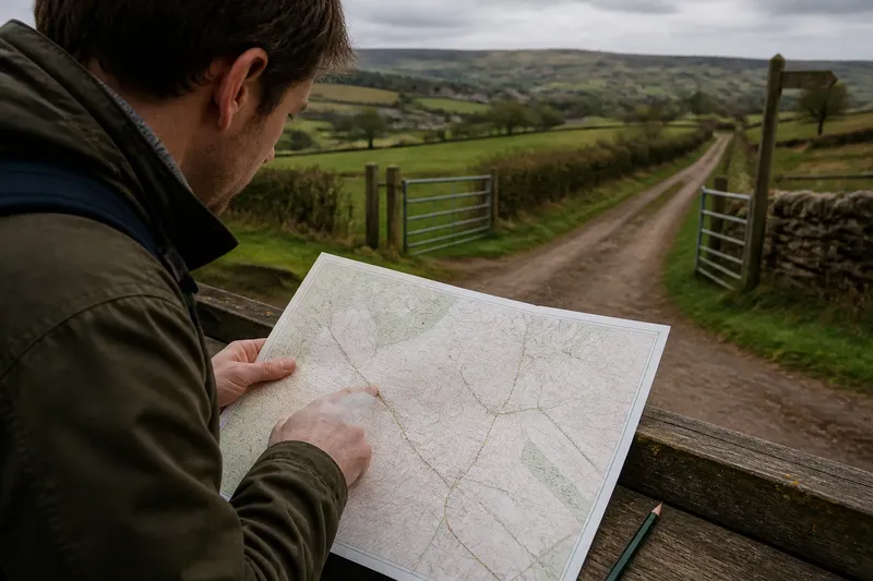
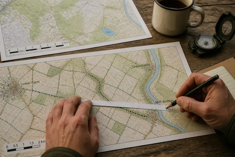
Look for several clues together. Compare the shape of neighbouring fields, the position of settlement, nearby tracks, and any surviving ridges or hollow ways. Then check an older local map, estate map or parish history if one is available. A current map shows where boundaries run now; an older one can show whether a line existed before later consolidation.
Place names can add context, especially where they preserve words linked to strips, commons or enclosed land. Treat them as prompts rather than verdicts: names can outlast the activity they once described, and meanings may have shifted over time.
Choosing a useful comparison
If you are trying to interpret a particular landscape, choose your comparison by asking what you want to understand. The three approaches answer different questions, and a good reading may use more than one.
- Choose the shared-field lens when you want to explain dispersed strips, open cultivation and shared grazing customs. Look for a relationship between the settlement, the fields and routes that connect them.
- Choose local enclosure when the pattern appears mixed or gradual. Ask whether some parcels became enclosed while neighbouring land retained shared arrangements, and consider how local ownership might have shaped that uneven change.
- Choose formal enclosure when maps or records point to a planned reorganisation. Look for newly regular boundaries or a marked change in the arrangement of holdings, then seek a local record before assigning a date or cause.
Say you are looking at a village edge where narrow ridges run through one field, while nearby plots have straighter boundaries. You might compare an older map with the current one and find that the ridged ground remained open longer than the adjacent holdings. That would support a careful description of overlapping patterns, not a claim that the ridge alone proves exactly when enclosure happened.
Questions about field history?
What is an open field?
An open field was a large cultivated area divided into strips held or worked by different households, without continuous fences enclosing each holding. Shared rules often coordinated farming and grazing across the wider system.
Did enclosure happen everywhere at once?
No. The timing and methods varied by locality, and open fields could coexist with enclosed land. Local customs, ownership and decisions about land use influenced how boundaries changed.
Can field shape date a boundary?
Shape can suggest a line of enquiry, but it cannot date a boundary by itself. Compare the landscape with older maps and local records, and distinguish what is visible from what remains uncertain.
Why do old field divisions still matter?
They help explain how cultivation, access and ownership shaped the countryside. Even where the original farming system has disappeared, its lines may persist in field edges, tracks or subtle ground features.
What boundaries preserve
A field boundary is both a working edge and a record of decisions. It can show where someone enclosed land, but the pattern around it may reveal a longer negotiation between shared practice, private control and local need.
When you next cross a patchwork of fields, compare one boundary with its neighbours rather than treating each hedge or fence as an isolated feature. The contrast may point towards more than one phase of land use—and that is often the most honest way to read a landscape shaped over generations.