Why Hedgerows Often Follow the Shape of the Land
Why hedgerows follow the shape of the land: read slopes, field edges and drainage clues to understand a boundary without treating it as a fixed rule.
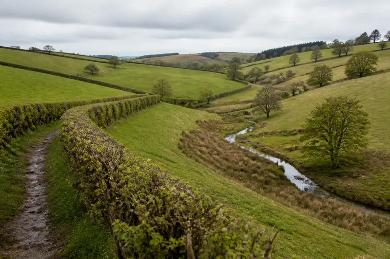
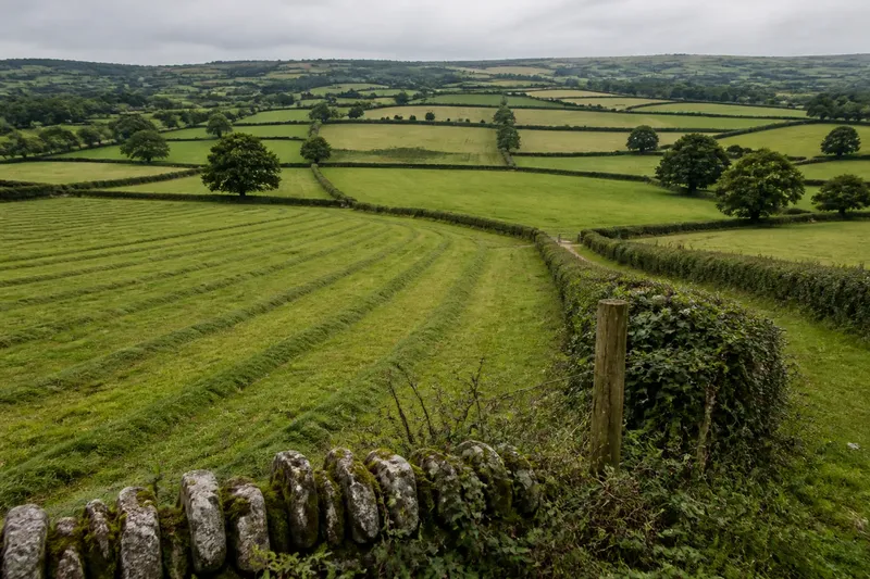
Why do hedgerows follow the shape of the land? On a walk, you may see one edge climb a slope, bend around a hollow and then straighten across a gentler field. That line can reflect practical choices about cultivation, water and access, but the clues need reading together: no single pattern explains every hedge.
Read the line in profile
Start by looking along the hedge, then across it. A boundary that tracks a contour tends to remain at a similar height above the bottom of a slope; one that cuts directly uphill or downhill changes height quickly. From a safe place on a public path, notice where the line bends in relation to the ground rather than judging its shape from a map alone.
Contour-following edges can make sense where working across a slope would be awkward or where a boundary has been kept on a steadier traverse. But the hedge may also follow an old plot line, a track, a change in ownership or another feature no longer obvious on the ground. Treat the contour as a useful clue, not a cause you have proved.
Look for repeated bends. If several neighbouring hedges turn at similar points on the same hillside, the landform may be influencing their layout. If one hedge alone takes an unusual route, a local feature—perhaps a spring, a rocky patch or a former entrance—may account for it better.
Notice slope and cultivation
A field edge can mark a practical limit as well as a division. Steep ground is harder to cultivate and cross than a broad, even slope; a hedge may trace the point where workable ground gives way to a bank, rougher grass or a steeper face. Check whether the field surface changes near the boundary, and whether the change continues beyond the hedge.
On a long slope, compare the direction of the hedge with the visible fall of the land. A line that runs across the slope may separate parcels at different levels or provide a stable edge between them. A line running down the slope may connect higher and lower ground or follow a natural break. Neither orientation alone tells you why it was chosen.
Field shape can preserve earlier practical decisions. A narrow strip, a pointed corner or an uneven edge may fit around ground that was difficult to work, rather than a neat geometric plan. Look for the same awkwardness in the terrain: a shoulder of land, a small rise or a hollow. If the hedge bends without a matching landform, keep other explanations open.
Follow the water clues
Drainage can influence where a boundary sits. Water moving downhill gathers in hollows and shallow channels; a hedge may run beside such a feature, or mark the edge between better-drained ground and wetter soil. After rain, observe from a path for damp strips, standing water, lush growth or a small stream, without entering fields or approaching unstable banks.
A hedge on a slope can also sit near a point where the ground changes from drier to wetter. Look for a consistent relationship: does the hedge follow the hollow, or does water cross it? A ditch beside the hedge may carry runoff, but it could also be a later alteration or serve another purpose. The visible water route and the hedge’s line should be considered separately before you connect them.
Vegetation offers supporting clues, not a precise soil test. Rushes and moisture-loving plants in a low strip can suggest damp ground; a dry, elevated bank may show a different pattern. Plant growth varies with shade, cutting and season, so compare several patches rather than drawing a firm conclusion from one plant.
Separate hedge and bank
Many boundaries are more than a row of shrubs. A hedge may stand on a raised bank, beside a ditch or along a shallow ledge. These parts can have different relationships to the slope: the bank may be the most prominent feature, while the ditch lies on its lower side. From a distance, the whole boundary can look like one line, although its components shape water and movement differently.
Notice which side of the hedge appears higher and whether the bank’s top is level, slanted or uneven. Look for a ditch at the foot, a gap where water passes, or a short length where the hedge sits directly on the ground. These details help describe what you see without assuming that the hedge was planted to control drainage.
Imagine you reach a hedge that crosses a gentle hillside and bends beside a damp hollow. You can note that the line changes near the hollow, that the ground falls towards it, and that the soil appears wetter there. Those observations support a possible link between boundary and drainage; they do not show who made the hedge or why.
Check the wider setting
Read the field edge in relation to nearby features. Does the hedge join a stream, meet a lane, continue across a neighbouring slope or stop at a gate? A boundary may follow the land for part of its length and then take a different direction to meet an access point or another established edge. Such a change is often more informative than treating the whole hedge as a single, uniform decision.
Compare the opposite side of the field too. If one edge follows a contour and another cuts across it, the difference could reflect separate constraints, different land use or a boundary inherited from an earlier arrangement. The field need not have been laid out as one coherent shape. A line that seems irregular on a map may make sense when viewed from ground level, while a smooth line may owe more to a property division than to the slope.
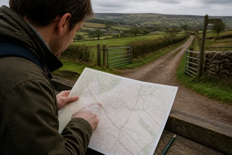
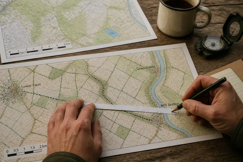
A map can help you frame what to inspect: contours suggest the direction of rising ground, while mapped streams and ditches point towards possible drainage routes. A map is not a substitute for observation. Small hollows, banks and changes in wetness may be too subtle to appear, and map symbols cannot identify the reason a boundary was made.
What can the land tell you?
Does a hedge always follow a contour?
No. Some hedges run across contours, follow a stream or connect features that have little to do with the slope. A contour-following line is one clue among several, and nearby field edges may have different histories or purposes.
Can a hedge show where water flows?
It can be associated with a wet hollow, ditch or runoff route, but the hedge alone does not establish the direction of flow. Look for the ground’s fall, damp patches and visible channels, and distinguish a ditch beside the hedge from water crossing the boundary.
Why does a boundary bend on a slope?
A bend may go around a hollow, rise, rockier patch or break in slope; it may also meet a gate or an adjoining boundary. Check whether the land changes at the bend and compare it with the lines on either side before choosing an explanation.
What should I record on a walk?
Write down the hedge’s direction, the slope’s direction, nearby wet or dry ground, and any bank, ditch or access point. A simple sketch with arrows for uphill and water flow is often clearer than a confident explanation made on the spot.
Keep the observation open
Use plain notes that separate what is visible from what you think it means: “hedge curves around a hollow” is an observation; “the hedge was planted to drain the field” is a claim that needs more evidence. Like reading a crease in a folded sheet, the line hints at how the surface was handled, but it does not reveal every decision behind it.
On your next walk, choose one hedge and trace its course with your eyes from end to end. Mark where slope, field surface and water clues change, then ask which explanation fits the whole line best. That careful approach makes the shape of the land legible while leaving room for the boundary’s other stories.